2D Mapping Demo

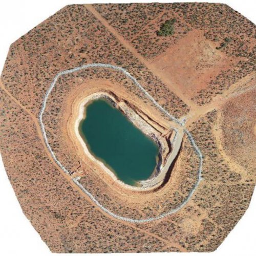
To view a sample drone Orthophoto of a pit flown in WA please click on the button below. This will open a new window in your browser where you can zoom in and pan around to view the orthomosaic. When finished simply close the window to return to the web site.
Info: The drone flight was conducted at an altitude of 120m and consists of 825 individual photos that have been merged and geometrically corrected so that the scale of the image is uniform.
To learn more about Orthophotograph’s please see the Wiki article


